|
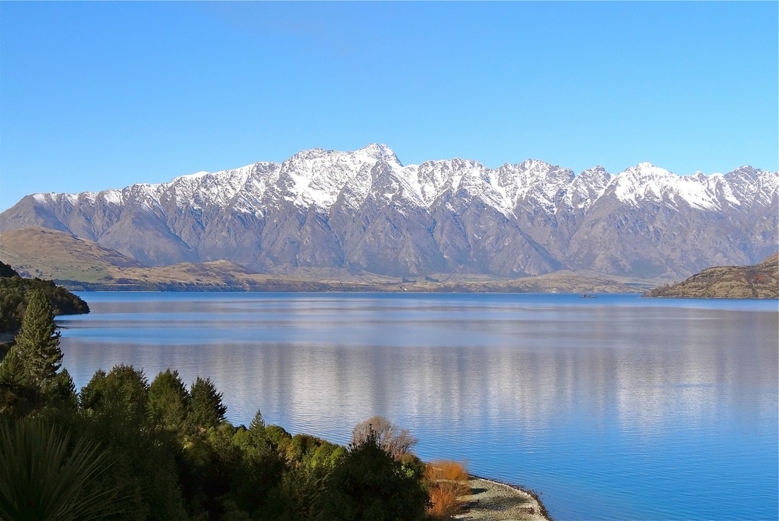
Taupo
Location: North New Zealand |
Aira
Location: South-West Japan, South Kumamoto Island |
|
Taupo Supervolcano began eruption 300,000 years ago, the main eruptions happened about 26,500 years ago and are responsible for the shape the Caldera takes today. Finally there was an eruption 1,800 years ago.
The present magma chamber is between 6 km and 8 km below the lake. Between it's two larger eruptions Taupo had 26 much smaller eruptions that formed lava domes and spread pumice and ash over nearby areas. The last Taupo eruption was the most violent eruption for the last 5000 years. The eruption plume reached 50 km and all of New Zealand received at least 1 cm of ash, bear in mind that 1 mm is enough to shut down an airport. Areas near the lake were buried in 100 m of pyroclastic flow, this flow spread up to 90 km from the vent. Deposits from the eruption blocked the lake outflow causing the water level to rise 34 m. When the blockage failed a catastrophic flood was released down the Waikato river. |
The Sakurajima volcano that has covered cities with ash, sits within the Aira Caldera. This caldera, around 22,000 years ago, covered the southern half of Japan with immense pyroclastic flows and ash fall. It has produced VEI 7 and 8 ash eruptions.
Similar to Yellowstone it is a restless Caldera, so it pulsates and the ground rises and falls as it does. This makes it difficult to know if we need to start worrying about whether it's going to erupt or not. 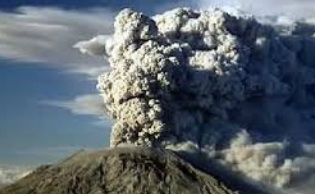
|
|
The Oruanui eruption was the worlds largest eruption for 70,000 years (up till the eruption of Lake Toba). It produced 430 km3 of pyroclastic fall deposit, 320 km3 of pyroclastic density current and 420 km3 of primary intracaldera material, so in total it erupted 1170 km3 worth of material.
|
|
